Devpost
Participate in our public hackathons
Devpost for Teams
Access your company's private hackathons
Grow your developer ecosystem and promote your platform
Drive innovation, collaboration, and retention within your organization
By use case
Blog
Insights into hackathon planning and participation
Customer stories
Inspiration from peers and other industry leaders
Planning guides
Best practices for planning online and in-person hackathons
Webinars & events
Upcoming events and on-demand recordings
Help desk
Common questions and support documentation
Like stars in the sky, people can connect to make a constellation
Using satellite imagery and machine learning, we help local governments transform unused rooftops into affordable solar energy, making clean power more accessible and sustainable for communities.
Vola tracks your flight and checks your bag, then turns delays and damage into a ready-to-file evidence packet for EU261, UK261, US DOT and Montreal claims.
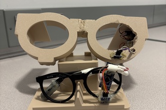
Its a Haptics System integrated into a pair of everyday glasses that prevents Pilots and more from falling asleep behind the wheel and crashing , and can be scaled to a plethora of industries!
Tomorrow, Me. Talk To Your Future
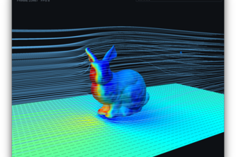
Have you ever wondered how to take 3D printing to the sky? With AeroSlice you can make anything optimized for air. Cube, triangle, or spaceship. Aero Slice will be able to optimize anything you want
We're gonna wing it!
What’s going into your skies?
Autonomous Drone Scanning Simulation
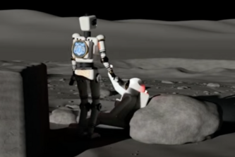
Ariel teaches a simulated robot how to move and reshape itself with RL for lunar search and rescue; it adapts to environments where their original shape couldn't handle.
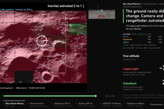
Subsidium cross-checks lunar lander altitude via inertial navigation, rangefinder, and camera, outvoting single faults or erring on the side of caution.
Our weather app showcases the different temperatures, humidity, wind-speed, and chance of rain throughout the week as well as in most common locations in New Jersey.
CivicSim lets residents propose street changes, like bike lanes, parks or housing, and see them built into real Street View photos with a cost estimate. Neighbours vote; the city decides.
The platform detects chemical leaks and alerts officials, first responders, and civilians.
Eco science that plays like a game and lifts climate learning into the sky
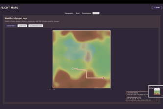
An app designed to simulate topographical, weather, and wind conditions in a generated region that plots fuel efficient, safe routes for pilots traveling on a plane with user specified fuel and speed.
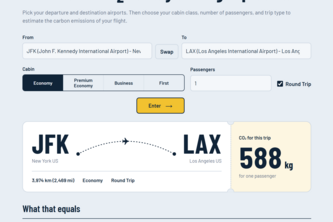
Flightprint calculates flight CO₂ emissions and compares them to one person’s annual car emissions, a tree’s carbon absorption, and one person’s yearly carbon footprint.
So many stars but enough time. Why waste time, come learn. all about the constellations using our Constellation Quiz.
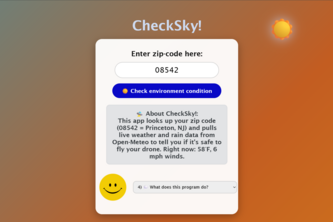
A program that uses the user's zip code with the help of other forecast websites information for your friend Verity to answer questions about weather conditions.
Using satellite data, we are saving lives with the skies
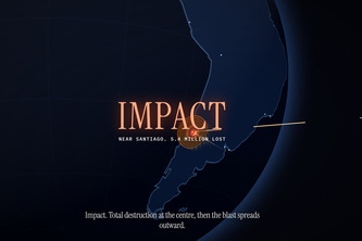
Don’t Look Up is a 3D web browser game where you must make decisions to save Earth from an asteroid. A real asteroid from live NASA data, might hit Earth, and you have to prevent it.
A basic clicking game with an intergalactic theme, used for both enjoying and customizing for your own experience. You want to add more content? Go above and beyond!
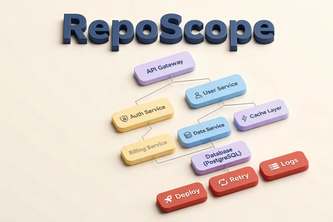
RepoScope: Interactive codebase mapping & impact analysis. See your repo, track it, build faster.
TradeWinds turns a storm alert or everyday observation into a map of who gains and who loses, with strength labels and a price check. Research ideas, not advice. Start in the sky. See who it reaches.
25 – 48 of 86